Our land is beautiful and stretches from the eastern Otway coasts and shores of Port Phillip to the central Victoria uplands. Our land is made up of many different landscapes with volcanic plains, wetlands, rivers, woodlands and forests.
We had many walking tracks that were regularly used for travelling between clans and tribes and to significant sites. These paths were taught to us by our families so that we always knew where we were going. Many of these walking tracks were turned into highways after colonisation, the South Gippsland Highway, Calder Highway and Midland Highway heading up between Geelong and Ballarat, are examples of old walking tracks that have been turned into modern highways.
In 2009 Wadawurrung Traditional Owners Aboriginal Corporation was given Registered Aboriginal Party (RAP) status. This was decided by the Aboriginal heritage council. Today, our RAP area covers over 10,000 square kilometres on the western side of Melbourne and includes the major regional cities of Geelong and Ballarat. Wadawurrung Country also incorporates the start of the Great Ocean Road, one of Australia’s most iconic and popular tourist destinations.
Living on Country
Barry Gilson reflects on the Wadawurrung people (the water tribe) prior to colonisation, their harmony with nature and resourcefulness in using the river system as both a food and a water source.
Significant areas of interest
Wurdi Youang
Wurdi Youang - meaning big hills in the middle of the grassy plains, is also known today as the You Yangs and is part of the cultural landscape on Wadawurrung Country. The distinctive granite peaks of this park rise abruptly from the flat plains below. Flinders Peak and Big Rock have panoramic views out to Melbourne, which is just an hour away. There is a rich variety of plant species such as manna gum, yellow gum and river red gum. The endangered brittle greenhood orchid is one of 30 species of orchids found in the park. The park also provides a range of habitats for wildlife with more than 200 species of birds and regular sightings of koalas, kangaroos, wallabies, brush-tail possums, echidnas and lizards.

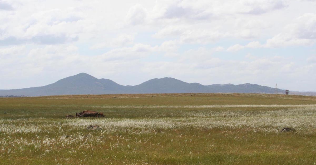
Wurdi Youang. Image source: Wikipedia.
Bells Beach
Bells Beach is a renowned surf beach, on the Great Ocean Road and was an Aboriginal meeting ground where the Wadawurrung people would gather to trade yarns, tools, skills and supplies. The reef that runs through Bells offered a consistent food source with plenty of abalone and crayfish available and low tide offering up a plentiful supply.
Moorabool River
Moorabool River is found on the traditional lands of the Wadawurrung people who have had an ongoing connection with the river for thousands of years. Moorabool means ‘monster’ in the language of the Wadawurrung and is the local name of the Stone Curlew, a bird that lives by the river. The river is great for a picnic with family and friends and you can visit its stunning waterfalls or go for a walk along one of the tranquil water holes.
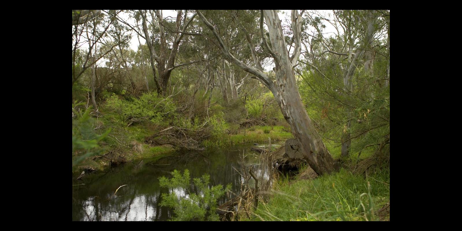
Moorabool River. Image source: Film Victoria.
Sources
The sources used to create the content on this page can be found on Wadawurrung Further Reading.